


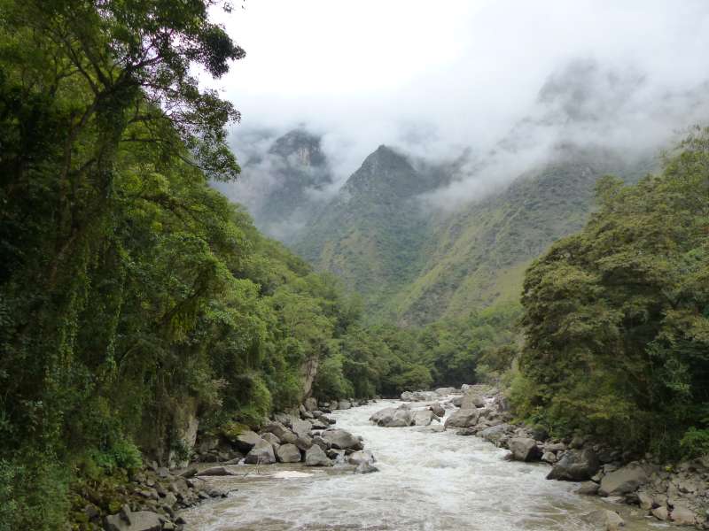
Pretty much all Machu Picchu 2 day 1 nite ‘Express’ Treks start at Km 104. To get there, Alex our guide from Alpaca Expeditions came at 4 am to fetch us (who were still semi-comatose), and headed for the Ollantaytambo train station to catch the 6:10 am train. We were able to snag coveted seats on the left side and got spectacular views of the Urubamba River on the scenic ride.
After getting off the train, we wandered around while our cook set out breakfast on a grassy spot by the train station. The surrounding mountains were still shrouded in mist.
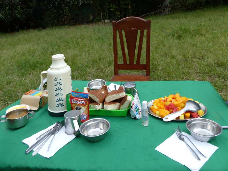
The air was nippy so it was nice to have a sit down breakfast – a significant upgrade from the sack breakfast from the hotel. The piping hot coffee and cocoa warmed us up, and so fortified, we set off on the Camino de Inca (Inca Trail).
We soon reached Chachabamba. Discovered in 1940, it was the first checkpoint during the Inca times to enter the Camino de Inca.
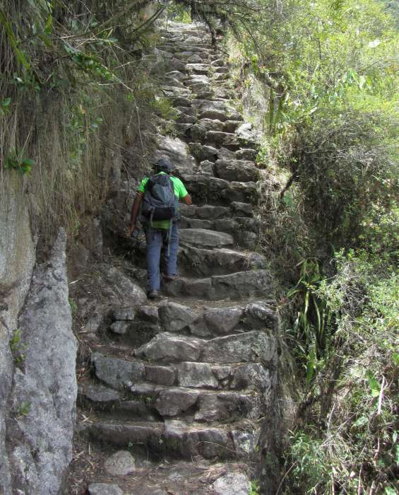
The next stop Wiñay Wayna, at the elevation of 8694 ft, was a lot harder to reach. Though it was only 6 km (under 3.75 miles) away, the high and uneven steps going up 1800 ft on tortuous switchbacks took us 4 hours. Luckily since there were just the two of us on this tour, we had the luxury of making a gzillion photo stops (which nicely doubled as rest stops) without feeling we were holding up the train.

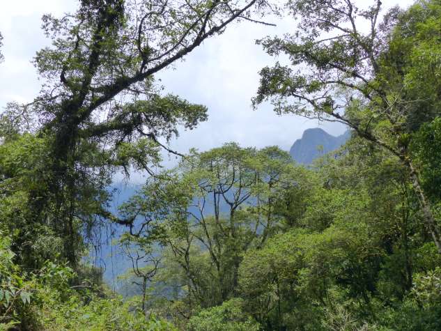
We saw tantalizing glimpses of Wiñay Wayna across the ravine. It looked deceptively close but we soon realized there always seemed to be another bend around the corner…

This waterfall stands sentinel at the entrance to the lower terraces of Wiñay Wayna. The water volume cascading down the cliff face was very modest since October was right before the rainy season, but it was still a welcoming sight.
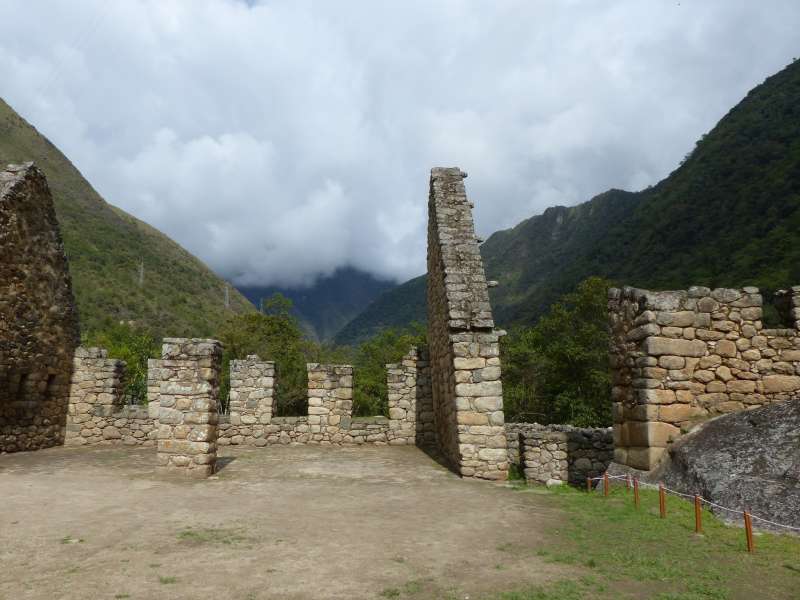
Once we reached Wiñay Wayna, we were able to explore the area while the cook prepared our lunch. The Inca ruin is surrounded by a mist-shrouded montane forest where its namesake orchid is commonly found. Wiñay Wayna in Quechua, the indigenous language of the Andes, means Eternal Youth, probably because the plant blooms year round locally.

The Inca site was built during the mid-15th century and shows two different styles of buildings. The upper level, with its distinctive rounded structure, is thought to have religious significance. This contrasted with the buildings on the lower tier, which are tightly packed and sports high pitched roofs more indicative of storage houses or common dwellings. They are connected by a steep flight of steps flanked by a procession of 10 water fountains along the way. This construction supports the notion that the Incas viewed water to be sacred and used cleansing as part of their ceremonial rituals.

The Incas had a penchant for cutting contour-hugging terraces into hilly terrains. Stonework on the retaining walls was generally of high quality despite only having simple stone, bronze or copper tools. It was assumed the terraces were used for farming, even though no one knows for sure.
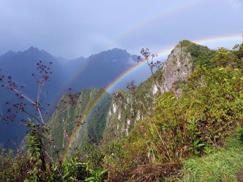
We’ve been told that weather on the Inca Trail is highly unpredictable and be always ready with a poncho. Sure enough towards the end of our hike, it started sprinkling and ended up with a quick downpour. We did get a bit wet but this awesome double rainbow more than made up for it!

Due to the numerous photo stops, I didn’t realize how slow – and late – we were on the trail, and was surprised to find we were the last stragglers going thru the check point before it closed for the day. But we made it through Inti Punku, the original official entrance to Machu Picchu just in time!
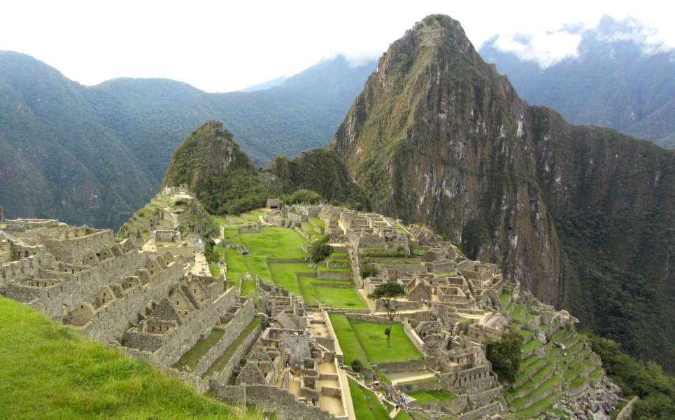
Once past the Sun Gate, we had about an hour to walk downhill to exit Machu Picchu. This bird’s eye view introduction to the Inca citadel was amazing, and we were able to spend some quality time in the park since it was deserted in the late afternoon.
Apparently trekkers on the 2 day, 1 nite tours get to enter Inti Punku at the end of their first day and leave through the main entrance to catch the Machu Picchu shuttle for the night’s accommodations. Alpaca Expeditions’ private campsite at Puente Ruinas is between the park entrance and the closest town, Aguas Calientes. The shuttle bus made an unscheduled stop so we can get off for the camp. So just one more walk…
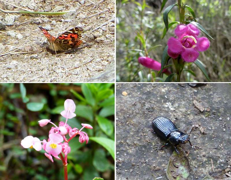
There were plenty of interesting flora and fauna along the trail. I have to say Alex had the patience of Job. He was perfectly cool with my stopping to take pics every few paces.